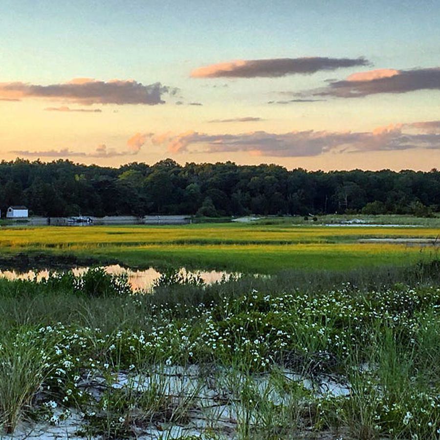
A virtual tour of Long Island Sound Habitats

This teacher webinar was hosted by New York Sea Grant, Connecticut Sea Grant, and the Long Island Sound Study to provide information about a newly developed StoryMap centered around LIS habitats. This new educational tool is designed to provide students a digital look into some of our local habitats and is aligned with Next Generation Science Standards. Read on for more information, access to the StoryMap, accompanying resources, and the 2021 webinar recording.
"Each habitat section contains general information, photo and video examples from New York and Connecticut, a discussion of habitat threats, and images of some of the plants and animals that inhabit each habitat. In addition, each section includes an original video from local environmental professionals highlighting phenomena observed there, as well as a potential educational activity for students, and additional educational resources to explore the habitat more in-depth.
The StoryMap also contains a glossary with relevant terms found throughout the tool and a conclusion section with links for students to explore how they can get involved in protecting local habitats."
Grade Levels: 6-12
Duration: Varies
Concepts/Skills: The LIS Habitat StoryMap features seven habitats found in the Long Island Sound watershed:
Coastal grasslands, Salt Marshes, Beaches, Rocky Intertidal
Tidal Flats, Submerged Aquatic Vegetation (SAV) Beds
Open Water
Objectives:
-
Familiarize students with the seven key habitats of the Long Island Sound (LIS) watershed
-
Identify and explain the plant and animal species associated with each habitat
-
Analyze threats facing each habitat and connect them to broader environmental issues
-
Engage students with real-world phenomena and professional insights
-
Facilitate hands-on or inquiry-based activities aligned with each habitat
-
Encourage vocabulary development and conceptual understanding
-
Empower students to take action to protect local habitats
 Skip Navigation

